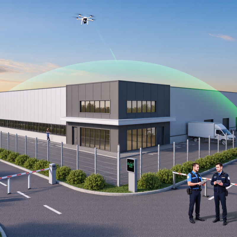
| Passive radio-frequency (RF) detection | Monitors radio signals that may be associated with a drone or its control link, without transmitting interference. | Sites where early awareness and alerts are useful, such as campuses, event venues, and industrial facilities. | May not detect autonomous drones, unfamiliar signal types, or aircraft operating with little or no detectable radio activity. Results can be affected by local RF conditions. | Ask about coverage, false-alarm handling, data retention, and how the system distinguishes drone-related signals from ordinary wireless activity. |
| Radar detection | Uses reflected radio waves to identify and track objects in the monitored airspace. | Large or open sites that need detection beyond the immediate perimeter. | Small drones, birds, buildings, terrain, and other objects can complicate detection or classification. Performance depends on placement and the environment. | Assess the site with a qualified provider and confirm applicable rules for operating radar equipment and sharing collected data. |
| Electro-optical and thermal cameras | Provide visual or heat-based observation to help verify an alert and document an event. | Facilities with clear sightlines, security staff, and a need for visual confirmation. | Line of sight, weather, lighting, distance, and camera resolution affect results. A camera alone may not provide reliable early warning. | Plan camera placement, operator procedures, privacy safeguards, and retention periods for recorded footage. |
| Acoustic detection | Uses microphones and signal analysis to identify sounds that may be associated with drone operation. | Smaller areas where acoustic monitoring can complement other detection methods. | Wind, traffic, machinery, crowds, and distance can reduce reliability. It may be less useful in noisy environments. | Test during representative site conditions and treat acoustic alerts as indicators that may require verification. |
| Layered detection and human verification | Combines available sensors with a documented process for reviewing alerts and escalating confirmed concerns. | Higher-risk sites that need more dependable awareness than a single sensor can provide. | Requires integration, trained staff, maintenance, and clear responsibility for responding to alerts. | Set verification steps, escalation contacts, audit logs, and procedures for avoiding unsafe or unauthorized responses. |
| Physical protection and covered spaces | Reduces exposure by moving sensitive activities indoors or using suitable overhead protection where feasible. | Loading areas, outdoor gatherings, storage zones, and other locations with identifiable assets or activities. | Structural changes can be costly and may not be practical for every area. Any covering must meet building, fire, and safety requirements. | Prioritize critical assets and consult qualified building and safety professionals before installing protective structures. |
| Site layout and access controls | Limits access to sensitive areas and improves visibility, lighting, and staff awareness around exposed locations. | Sites where people, equipment, or operations can be relocated or protected through ordinary security planning. | These measures do not prevent a drone from entering airspace and may offer limited protection against a determined threat. | Use them as part of a broader risk assessment, not as a substitute for detection, incident planning, or emergency procedures. |
| Staff training and incident procedures | Helps personnel recognize and report suspicious activity, protect people, preserve evidence, and contact the appropriate authorities. | Any organization with staff, visitors, outdoor operations, or critical activities. | Training cannot physically stop a drone and must be kept current as roles, sites, and local procedures change. | Provide a clear reporting channel, safe-distance guidance, incident documentation steps, and named escalation contacts. |
| Coordination with aviation and public-safety authorities | Supports lawful reporting, incident assessment, and coordination with authorities that have relevant responsibilities. | Repeated incidents, events, sensitive facilities, or situations involving immediate safety concerns. | Response options and authority vary by jurisdiction and circumstance; reporting does not guarantee immediate intervention. | Identify the correct local contacts in advance and follow official instructions. Do not attempt to seize, damage, or interfere with an aircraft. |
| Geofencing and flight-management controls for owned drones | Can help an organization manage its own drone operations by defining operational boundaries and restricting flights where supported. | Organizations operating their own drones near people, facilities, or controlled operating areas. | It does not stop third-party drones, and availability or behavior depends on the aircraft, software, location data, and applicable rules. | Use only within the operator’s authority and applicable aviation rules; do not assume it creates an enforceable boundary for other aircraft. |