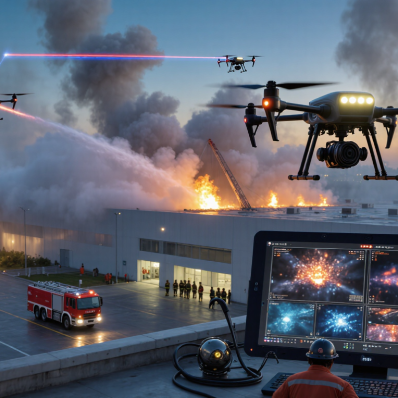
| 1 | Heavy-Lift Tethered Thermal Drone | Continuous aerial observation, hotspot detection, and incident command support | 4–8 hours with ground power | 5–20 kg | Radiometric thermal camera, high-resolution daylight camera, laser rangefinder | Usually none; can carry lighting, communications, or gas-detection payloads | Urban fires, industrial sites, ports, and large fixed incidents | Tether limits mobility and requires a secure ground station |
| 2 | Heavy-Lift Water-Delivery Multirotor | Delivering water or extinguishing agent to inaccessible hotspots | 10–25 minutes per load | 10–30 L of liquid | Thermal camera plus daylight zoom camera for target confirmation | Drop tank, spray bar, or directional nozzle depending on configuration | Wildland fires, roof fires, steep terrain, and remote structures | Short endurance and frequent refill cycles |
| 3 | Hose-Connected Suppression Drone | Applying a continuous water stream while keeping crews away from hazardous areas | 30–90 minutes typical; limited by pump and hose setup | Water supplied through hose; no onboard tank | Thermal camera, low-light camera, and nozzle-view camera | Continuous water or foam delivery from a ground pump | Industrial plants, storage facilities, tunnels, and building exteriors | Requires a nearby water source, pump, and hose-management team |
| 4 | Long-Endurance VTOL Mapping Drone | Large-area fire mapping, perimeter measurement, and evacuation planning | 90–180 minutes | 1–5 kg | Thermal mapping payload, multispectral camera, and high-resolution mapping camera | None; designed for detection and mapping | Wildland fires, grasslands, forests, and large rural regions | Not suitable for close-range suppression or confined spaces |
| 5 | Professional Thermal Inspection Multirotor | Finding hidden heat, embers, roof hotspots, and electrical risks | 30–55 minutes per battery | 0.5–2 kg | Radiometric thermal camera and optical zoom camera | None; may carry compact markers or lighting equipment | Urban response, industrial inspections, and post-fire assessment | Battery endurance decreases in cold, wind, and heavy rain |
| 6 | Indoor Search-and-Rescue Microdrone | Searching smoke-filled rooms, corridors, stairwells, and damaged structures | 10–25 minutes | 0.1–0.5 kg | Thermal sensor, low-light camera, obstacle sensors, and two-way audio | None; intended for reconnaissance and victim location | Buildings, warehouses, tunnels, and confined industrial spaces | Very limited range, payload, and wind resistance |
| 7 | Night-Operation Search Drone | Locating people, vehicles, and fire boundaries after dark | 35–55 minutes per battery | 0.5–2 kg | Thermal camera, starlight camera, spotlight, and loudspeaker | None; supports search, communication, and scene lighting | Night wildland response, disaster zones, and evacuation routes | Requires approved night-flight procedures and trained operators |
| 8 | Rapid-Deployment Compact Multirotor | Fast first-look assessment before larger emergency resources arrive | 25–40 minutes | 0.2–1 kg | Compact thermal camera and stabilized daylight camera | None; provides rapid visual intelligence | Municipal fire response, traffic incidents, and small outdoor fires | Lower wind tolerance and smaller sensor options than heavy platforms |
| 9 | Gas- and Air-Quality Monitoring Drone | Measuring smoke hazards and atmospheric conditions around an incident | 25–50 minutes | 0.5–3 kg | Particulate sensor, gas sensors, thermal camera, and weather module | None; supports hazard-zone decisions and crew protection | Chemical incidents, industrial fires, landfills, and smoke plumes | Sensor readings require calibration and careful interpretation |
| 10 | Post-Fire Damage-Assessment Drone | Documenting structural damage, residual heat, and recovery requirements | 30–60 minutes | 0.5–4 kg | Thermal camera, high-resolution mapping camera, and optional LiDAR | None; focused on inspection, mapping, and evidence collection | Buildings, forests, infrastructure, and insurance assessment | Operations may be restricted around unstable structures and active emergency zones |